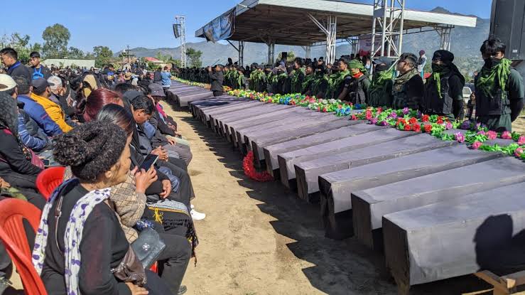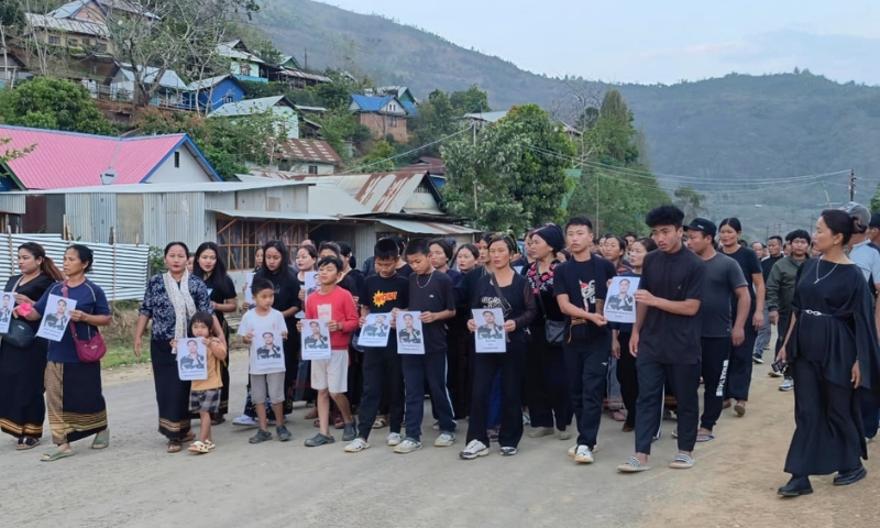

Committee calls Tangkhul Naga Long narrative “historical distortion,” points to documented Chassad Kuki chieftainship, territorial boundaries, and 1950 Manipur Gazette to reject single-community claim.
Edited By: St. Ginth Haokip, Kukiland Express Desk
Songpi: May 27, 2026
The Committee on Protection of Tribal Areas Manipur–Kangpokpi Hills (COPTAM-KH) unequivocally condemned what it called the “reckless and historically fabricated claims” advanced by the Tangkhul Naga Long (TNL) attempting to project present-day Ukhrul and Kamjong districts as exclusive territories of a single community.
In its statement, COPTAM-KH said such assertions are “nothing short of deliberate historical distortion, political propaganda, and an attempt to erase the documented territorial existence of the Kuki people from their own ancestral domains.”
“Let it be made absolutely clear: no organization, however influential or politically motivated, can rewrite recorded history or monopolize territories historically inhabited and administered by multiple indigenous tribal communities,” the committee stated. It added that the historical record “overwhelmingly establishes the long-standing political authority, territorial jurisdiction, and hereditary chieftainship of the Kukis across substantial portions of present-day Ukhrul and Kamjong districts.”
To back its position, COPTAM-KH cited official British military records, including Secret–Confidential: Plan of Operations Against the Kukis (1918). The document, it said, categorically identifies the Chassad Kuki polity within the Assam operational sphere, with Chassad functioning as a political capital under the authority of Chief Pache (Pase). The same colonial record, according to the committee, officially acknowledges: 1) A centralized Kuki political settlement; 2) A recognized hereditary Kuki chief exercising territorial authority; and 3) A distinct Kuki political and territorial unit.
The group further detailed territorial boundaries documented in the 1918 record, which it says encompass major portions of present-day Ukhrul and Kamjong districts: (i) North: The Central Section; (ii) East: Chindwin River up to Homalin extending to Kongal Thana; (iii) South: Kongal Thana to Chandrakhong via Sarpung; and (iv) West: Along the Thoubal River northwards from Chandrakhong. COPTAM-KH said these official records “completely destroy the false narrative that Ukhrul and Kamjong historically belonged exclusively to one community.” The evidence, it argued, “conclusively proves that Kuki territories were organized political domains with recognized frontiers, established systems of governance, and territorial administration long before modern district boundaries or later political narratives emerged.”
The statement also cited The Gazetteer of Manipur (1886), authored by Captain E. W. Dun, which records that the Chassads were earlier identified as Haukibs around 1836. COPTAM-KH said this further proves the “continuity and evolution of Kuki chief-based political identity and territorial authority in these regions.”
“Equally significant, the post-independence administrative structure of Manipur further demolishes attempts to manipulate territorial history,” COPTAM-KH said. It noted that the Manipur Gazette dated 25 January 1950 declared Manipur a single district divided into separate sub-divisions, including Sadar, Ukhrul, and Mao. Present-day Kangpokpi District emerged from the erstwhile Sadar Sub-Division, while Senapati District originated from the erstwhile Mao Sub-Division, the group stated.
“Thus, attempts to politically subordinate Kangpokpi or Kuki ancestral territories under later ethnic exclusivist narratives are entirely unsupported by official administrative history,” COPTAM-KH concluded.